
Our Data
Where does our data about graffiti, homeless encampments and other quality-of-life issues come from?
This is data comes from city residents and city agencies that track these issues. Most of the data is recorded via the MyLA311 service, which lets residents request services, such as bulky item pickup, and complain about issues, like graffiti or illegal dumping. The city collects many more categories of data, such as complaints about potholes, but doesn’t make them public. This data is stored on the Los Angeles Open Data site.
How do we get our crime data?
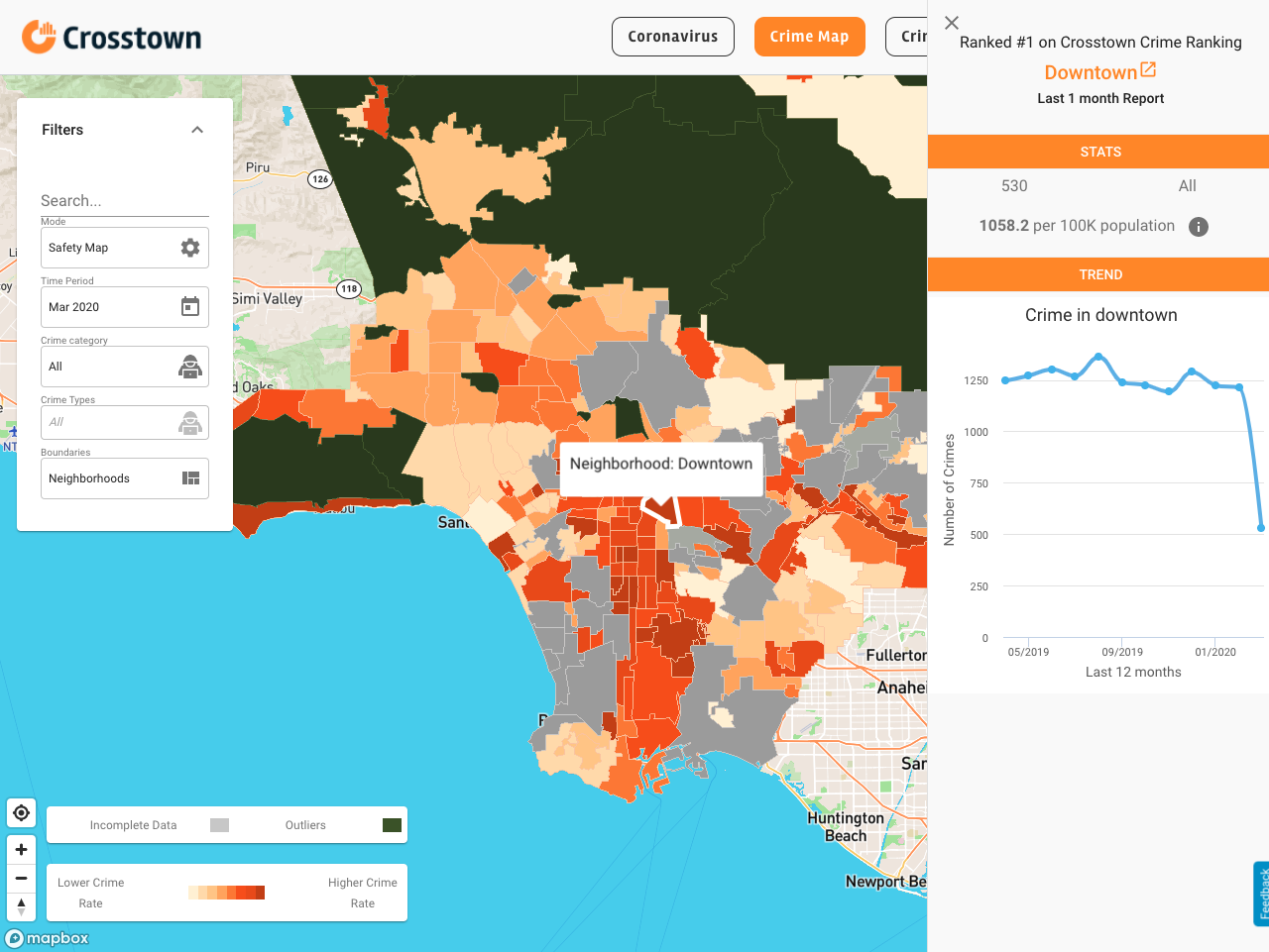
Our crime data is official. But that doesn’t mean it’s complete or even consistent. We collect the crime data directly from the the law enforcement agencies, or through open data portals, such as Los Angeles Open Data. We have data from the two largest agencies, the Los Angeles Police Department and the Los Angeles County Sheriff’s Department.
Though there are some national standards for how agencies report their data, called Uniform Crime Report, there are often inconsistencies from agency to agency. Some departments use a different nomenclature for the same crime (larceny instead of petty theft, for example). Others include location specific data for each report, while others make that information difficult to come by. In some jurisdictions, we have crime data that goes back to 2005; in other places it’s just a few years. Our team has cleaned and standardized the data wherever possible. This is an ongoing process. We regularly find inconsistencies or outliers in the data. Sometimes there are actual mistakes (listing a year as 0017 instead of 2017). When we come across these issues we make efforts to correct them.
Another issue to be aware of when looking at crime data is that it’s only as good as what’s being reported. Some communities work well with law enforcement; others are more reticent. That can impact the number of crimes that are reported. In areas that have a history of tensions with the police, some crimes may never be called in. That’s why we have paid particular attention to the baseline of reported crimes. When we notice a sharp increase or decrease, it usually tells us something important.
What about data on building permits and property values?
The city of Los Angeles maintains a public record of every building permit filed and the length of time required to issue it. This includes data on new construction, accessory dwelling units and even solar panels.
The property values come from the Los Angeles County Assessor. They cover the assessed value of every property parcel in Los Angeles County.
Where does our traffic data come from?
Measuring traffic is no mean feat. Our data comes primarily from two sources. The first is through something called the Archived Data Management System, or ADMS. That system stores millions of signals every hour that record the flow of traffic across the county. If you’ve driven in Los Angeles, you’ve likely contributed to this database. Most of the inputs come from Inductive-Loop Traffic Detectors, those strange circles you see embedded on freeways and streets.
Every time a vehicle passes over one, two pieces of data are recorded: the time and place, and the amount of time the sensor was depressed. The first tells us when and how many vehicles are travelling. The second tells us the speed at which a vehicle is moving (the longer the sensor is depressed, the slower the traffic). Because these sensors are arrayed along freeways, we can use them to calculate how quickly traffic is moving at different times and places. There are 14,000 sensors deployed across freeways and main streets in Los Angeles County covering 5,400 miles of roadway cumulatively.
In addition, we can chart the progress of public transportation. Every bus and train is equipped with a sensor which reports its location every 30 seconds. We can use that to see if public transport is arriving on schedule, if buses are getting bunched up, and how many are operating at any given time.
But with so much data coming in, we need a way to process it all. For this, we used a data-management system called TransDec. ADMS is housed within TransDec. The TransDec system allows us to query the ADMS data and understand it in terms of space and time. TransDec is essentially the engine and the interface we use to make sense of all the data. Both of these platforms were built by our partners at USC Viterbi’s Integrated Media Systems Center.
We also receive data collected by the California Highway Patrol, Los Angeles Sheriff’s Department and others about road accidents.
Taken together, all of this information can paint a nuanced picture of what’s happening on roadways all across Los Angeles County. We can look at trends that happen over years, or even in the course of an hour.
Where did our COVID-19 data come from?
We collected our COVID-19 data on new infections from the Los Angeles County Department of Public Health. The data was updated daily on our interactive map. We used population data from the 2018 American Community Survey to calculate rate of infection per 100,000 residents.
For the City of Los Angeles, Crosstown uses a library of neighborhood boundaries developed by the Los Angeles Times. In several cases, we modified the neighborhood definitions provided by the Department of Public Health to conform to our boundaries. In several cases, we aggregated smaller areas reported by the Department of Public Health into larger ones in order to conform with our neighborhood boundaries. The revised boundaries may result in totals that, in some cases, vary slightly from numbers published by the county.
Still have questions? Contact us at askus@xtown.la